


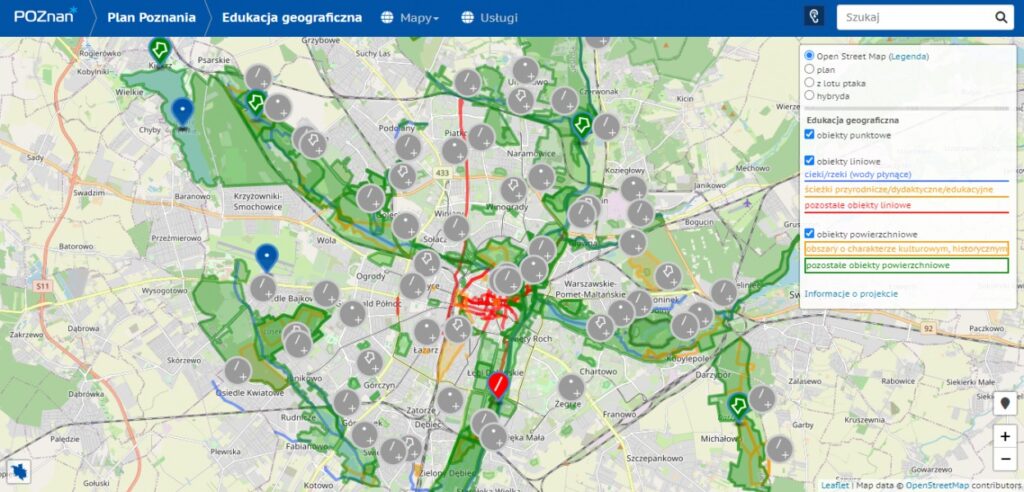
Researchers from the Faculty of Geographical and Geological Sciences at Adam Mickiewicz University in Poznań, together with geography teachers, Poznań City Hall and the Poznań Supercomputing and Networking Centre, are expanding the Digital Plan of Poznań. The map will soon be enriched with another update – a layer depicting objects of geographical, historical and cultural significance.
The plan will be expanded with a TOP 15 layer, featuring such places as the Imperial Quarter, the Old Town, Ostrów Tumski, the Citadel, Fort VII, the Morasko and Żurawieniec Meteorite Reserves, Szachty with a viewing tower, moraine hills in the north of Poznań, and Kokoryczowe Hill.
“The map is primarily aimed at geography teachers from Poznan as well as residents and people interested in the city’s geographical fyrtl (spots). It is a proposal of selected sites that can be used in geographical and environmental education in the city”, says project initiator Dr Dawid Abramowicz.
Read more: https://amu.edu.pl/wiadomosci/aktualnosci/komunikaty-prasowe/podroze-palcem-po-ekranie