


A state-of-the-art infrastructure with a computing centre and a number of specialised laboratories has been created on the premises of the Warsaw University of Technology (WUT) in Warsaw and at the Science and Teaching Centre in Józefosław.
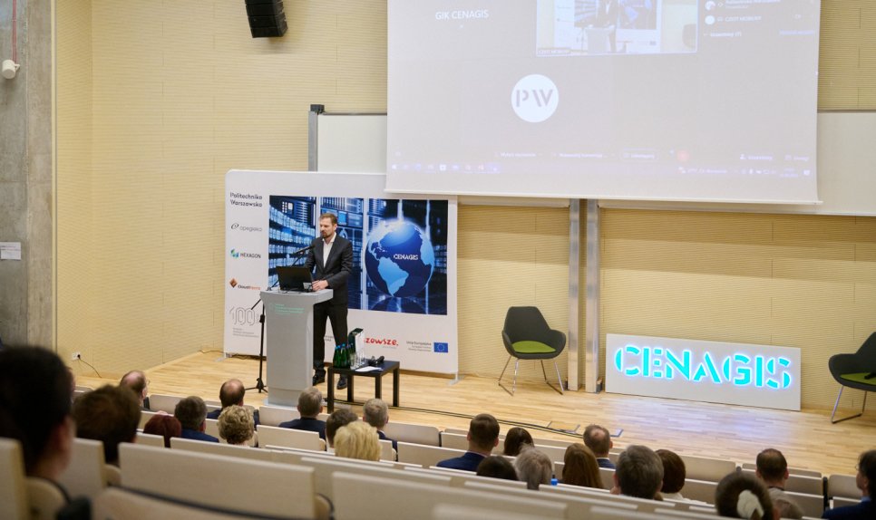
The Centre for Geospatial Analysis and Satellite Computing (CENAGIS) is an infrastructure for research purposes consisting of two main parts: IT and stationary laboratories.
The IT base is made up of a computing centre mainly for processing terrain information. This part has two locations: PW Main Building and the centre in Józefosław.
The stationary laboratories are located in Józefosław. Available there are a laboratory for testing laser scanners and digital cameras, laboratories for testing navigation and location applications (including a VR/AR laboratory), laboratories for GNSS (Global Navigation Satellite Systems) analysis and a gravimetric laboratory (for gravity acceleration measurements).
Józefosław also hosts infrastructure related to permanent GNSS satellite observations (measuring station included in international research programmes).