


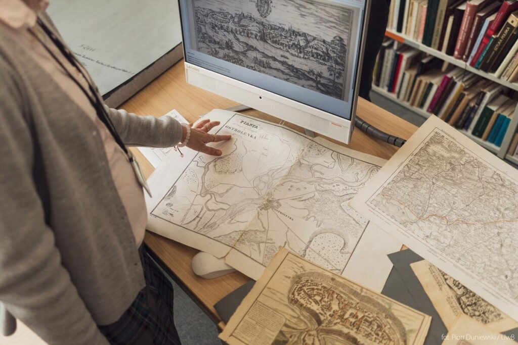
General geographic, topographic, and military maps, as well as city or regional plans and even historical views which mainly date from the 19th and early 20th centuries, but also documents from the 16th to 18th centuries, as well as other unique objects became a digital collection prepared by the Jerzy Giedroyc University Library in Bialystok within the project “Digital Collections of the University Library – Cartographic Collections”.
According to the University of Bialystok, the project involved the digitisation of more than 200 historical documents issued before 1945 that had already passed into the public domain, the preparation of their analytical descriptions and the construction of a special website. The aim of those activities was to secure valuable historical objects and exclude them from direct access, as well as to disseminate the collections as widely as possible, primarily for scientific purposes.
It was co-financed by the Minister of Education and Science within the framework of the programme Social responsibility of science – Support for scientific libraries. The funding amounted to PLN 31 982.00. The project was implemented over a year and a half.
Read more: